
The Birth of the BeiDou navigation system
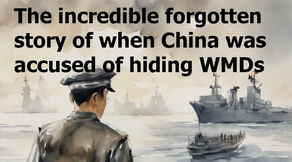
Wikipedia: The Yinhe incident in July-August 1993 was likely the main impetus behind the creation of the Chinese BeiDou navigation system.
The United States Navy forced the surrounding Middle Eastern countries to refuse docking rights to the Yinhe, leaving it in the international waters of the Indian Ocean for twenty-four days. Additionally, the Chinese found that the GPS of the ship was jammed such that the ship could not navigate.
Eventually, inspections of the ship’s cargo by a joint Saudi–United States team concluded that the cargo ship did not contain any chemical weapons precursors. The United States government stated that there would be no apology, saying “the United States had acted in good faith on intelligence from multiple sources.”
Some American officials within the Clinton administration later raised the possibility, without any evidence, of China having deliberately spread false intelligence in order to cause the incident, referring to it as a “sting” to embarrass Washington. The incident resulted in an increase of Chinese nationalism and anti-Americanism in China throughout the 1990s.
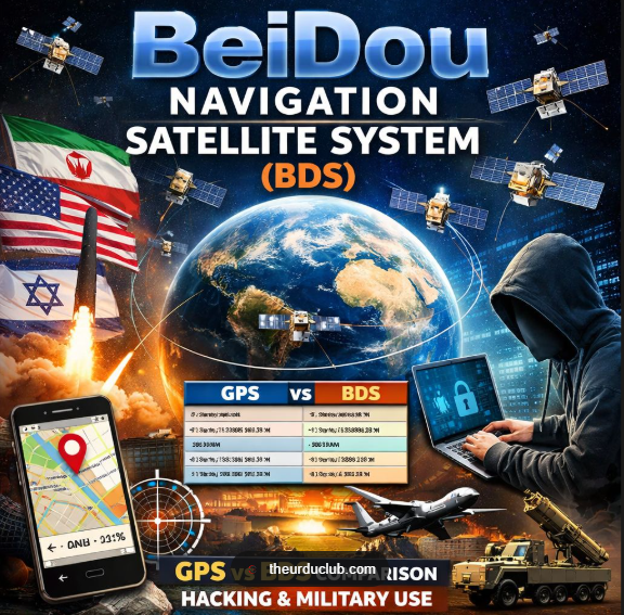
This Yinhe incident, especially the GPS positioning service denial, was described as “unforgettable humiliation” in Chinese state media and became the immediate cause for the Chinese government’s decision to initiate its own navigation satellite system, BeiDou.
After the Yinhe incident, China’s General Secretary Jiang Zemin expressed that China would adopt a diplomatic posture of goodwill and a “sixteen-characters formula” to working with the United States: enhancing confidence, avoiding troubles, expanding cooperation, and avoiding confrontation.
Although Jiang was criticized by hardliners and some military officials domestically for the perceived “weak reaction,” his accommodating approach helped improve China’s relations with the United States.
~~~
During the Twelve-Day War, when the Americans and Israelis struck Iran from June 13 to 24, 2025, the Iranians struggled to fight back because their IRGC forces relied on the American GPS navigation satellite system.
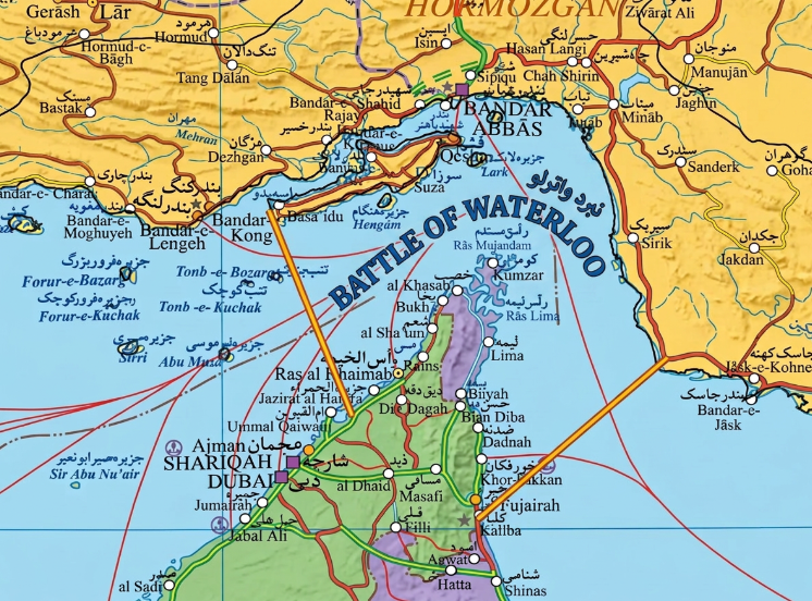
The offer of a truce was a welcome relief as Iran realized they needed to quickly switch to an alternative system. Now, Iran relies on the BeiDou navigation system in its conflict with the United States. Enbolden, Iran’s IRGC is claiming the whole Strait of Hormuz under its Control.
And as the Battle of Waterloo is been contested there; and Iran is to be seen to be the world’s Fourth Power, the attacks between them would be showing no signs of slowing down . . .


